10/29/2012

MRRT Construction Update: Central & Pine Bend Bluffs Segments

I stopped by the start of the Central Segment of the MRRT in Inver Grove Heights off of 100th St. E. and Inver Grove Trail to check on the progress of construction.  I received an e-mail update on October 18th from Dakota County that stated the following:

MRRT – south Inver Grove Heights border to the northern boundary of the Pine Bend Bluffs Scenic and Natural Area


Schedule for October 18 – 27 

  • Culvert installation.
  • Grading the trail.
  • Placing aggregate on the trail.
  • Install riprap.
  • Paving the trail.

All of the photos in this post were taken on Monday, October 29th.  It looks as though most of the Central Segment work is done and the finishing touches are being completed. 


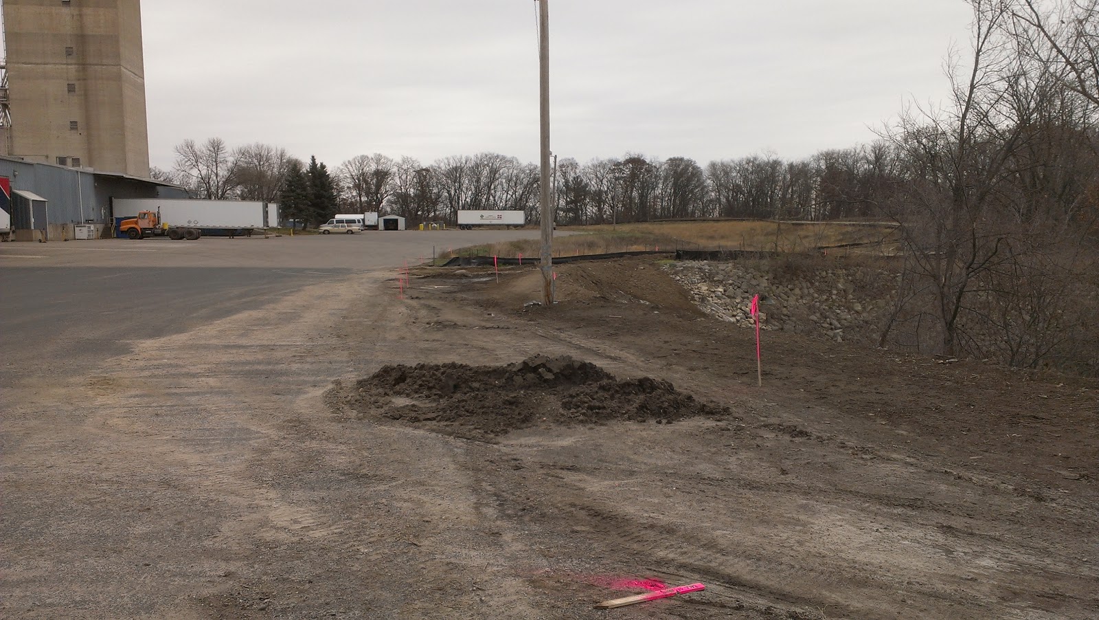
The next series of photos were taken on the other end of the Central Segment near Inver Grove Trail and 102nd St. E.  This is where the trail will cross the road to the existing trail that will take cyclists to the northern boundary of the Pine Bend Bluffs Segment.


I took a drive down 111th Street E. to where the unfinished southern half of the Pine Bend Bluffs Segment begins and took the photo below.  Workers were putting the finishing touches on the class 5 base layer in preparation for paving.  I spoke with one of the workers to find out when they were going to begin paving this segment.  He told me that they would start paving Tuesday, October 30th or Wednesday, October 31st but that would depend on the survey inspectors.


Down on 117th St. E., the section leading to the Rosemount border is completed except for the remaining fence installation. 


Across the street, the southern most part of the Pine Bend Bluffs Segment leading to 111th St. E. is prepared with the class 5 base layer and is almost ready for paving.


The worker I spoke with also mentioned there is a 300 foot section of the trail that they didn't know what they were going to do with yet.  It may not get paved until next spring but you can travel through the parking lot of the trucking facility to get back to the paved trail.  The photos below detail this section.

Location of 300' section of trail
 

There is an area here where bluffs descend into deep ravines and trees do not obstruct magnificent views of the Mississippi River Valley.  The trail meanders the steep edges and plunging wooded ravines of the bluffs as it makes its way back to 111th St. E.


Here is the most recent update I received on October 26th for the schedule of work to be done:


MRRT – south Inver Grove Heights border to the northern boundary of the Pine Bend Bluffs Scenic and Natural Area
Schedule for Oct. 26 – Nov. 3  


  • Placing aggregate on the trail.
  • Paving the trail.
  • Fence installation.


Schedules are subject to change due to weather and other unforeseen circumstances.

To check the most recent construction schedule visit the MRRT Pine Bend Segment construction project page.  If you would like to get e-mail updates on this project as they are posted send an e-mail to erin.borchert@co.dakota.mn.us with "Add me to the CP 97-98 (MRRT - Pine Bend) update list" in the subject line.  Late November is the scheduled time frame for project completion, so cold weather cyclists will get a chance to ride it this year providing there isn't a big snowfall by then.  If there is, get out that fat bike and conquer the snow covered trail.

10/28/2012

Minnesota Bike Blog to Check Out-Mountain Bike Geezer

Minnesota is known as the "Bike Friendly State" and there are quite a few good blogs about biking in this great state to keep you informed.  They cover everything from road cycling, mountain biking, fat tire bikes, bike advocacy, traffic and bicycle infrastructure, cyclist's personal experiences and even the weather as it relates to biking.  I will post a series highlighting some of the blogs that I follow regularly that you may want to check out or subscribe to.


Credit:  Mountainbikegeezer.com
Griff Wigley is new to mountain biking within the last few years but has jumped into it with both feet.  He may be a "geezer" but he isn't afraid crash or to take on those expert singletrack trails.  One of his  posts entitled "Upper body armor means I can crash more with confidence"  and the video below from another recent post demonstrate this.


I had the chance to ride the Minnesota River Bottoms with Griff this past spring and had a great time, he is definitely a character and likes the more technical aspects of mountain biking.  His posts are always interesting, instructive, informative and full of pictures and video.

You can follow Griff, the "Mountain Bike Geezer" by subscribing to his blog via RSS feed, e-mail or visiting Mountainbikegeezer.com.  Follow him on Twitter or visit his Picasa Photo Gallery.

I found the easiest way to keep up on all of the latest content for the blogs I read is to use a RSS reader client such as Google Reader or Flipboard.  These allow you to put together all of the blogs you read into one convenient place.  There are a lot of RSS readers that work with desktop computers and smartphones so pick the one that best suits your needs.  Soon I will bring to you another Minnesota bike blog worth reading.

10/27/2012

Accurately Record Tracks Online or Offline with My Trails For Android

My Trails is a map and GPS tracking app that I recently discovered for use on my Android smartphone.  I have used and written posts about other cycling mapping and tracking apps before, but this one surprised me with how accurate it was.  It is very customizable with its many preference settings.  This is a powerful, accurate tool that is full of functionality and will come in handy for cyclists looking for a good map reference app.


Watch the video above for a quick tour of My Trails and some of its functions.


I found it to be a little complicated at first.  After reading through the "Quick Start", the online user manual and online FAQ, accessible from within the app's Preference menu, I figured out pretty quickly how to use it and set up the appearance and behavior settings to my liking.

Some of the features of My Trails that I found particularly useful are storing of offline maps, the ability to show multiple tracks simultaneously, saving tracks on your device and online, custom track colorization, its many map source choices and planning tracks from the website.

The ability to store offline maps is one feature I like.  It is more reliable, saves on data use and for remote areas without data coverage you still can record your tracks and view your map.  Navigating your offline map is smooth and instantaneous since there is no data downloading lag time.  For each offline map that you create an online fallback map can be configured.  The online map will take over when moving outside the offline map that you have created when data coverage is used and available.  Overall the map dragging and pinch zooming is pretty fast and smooth compared to other mapping apps.


You can save and name each of your tracks on your smartphone or online with My Trails, GPSies, Dropbox, or FrogSparks.  An "Auto upload tracks after save" option is also available.  Use this save feature to refer to tracks at a later time or show multiple tracks on a map simultaneously with the track manager.

Custom track colorization is one of the unique features of this app.  It will allow the user to set tracks to be colored according to just a solid line, altitude, rate of ascent, speed (computed or measured) GPS accuracy and slope.  Select track color for solid type or as an outline for colorization tracks.


My Trails is loaded with many maps to choose from.  I usually use the Google Hybrid map but select the one you prefer using.


Create an account and login to the My Trails website to upload a new trail, draw a new trail or create a marker.  The website allows you to plan a track on your computer and import it into My Trails.  After saving your planned track, send it to your smartphone via email or login to your My Trails account under Preferences>Accounts>My Trails in the app.  Instructions on how to do this can be found in the FAQ online guide in the Preferences menu under question 10, "How can I plan a track?".

Set up the way you would like the maps to appear in the Appearance section of the Preferences menu.  I select the Larger Icons, Larger Buttons and Show HUD (heads up display) when biking to make things easier to see when glancing down.

 
I will use this app and run it in the background while also using Endomondo Sport Tracker Pro to track all of my ride statistics.  I found that the GPS accuracy of My Trails far exceeds that of Endomondo Sport Tracker Pro.  See the example below from a section of a recent ride.  The My Trails track on the left is on the exact route I took while the Endomondo track on the right is in the general vicinity.


There are many more features than these I have listed above, but they are a good start if you want to track your rides accurately.  My Trails is available at the Google Play Store in a free version and a Pro license version for $2.75.  I recommend buying the paid version to unlock more functions in the app. 
Related Posts Plugin for WordPress, Blogger...